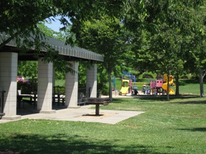
 The East Antelope Specific Plan area consists of approximately 670 acres located in the north-central portion of Sacramento County immediately adjacent to the Sacramento/Placer County line. The East Antelope Specific Plan provides for the orderly development within the East Antelope/Poker Lane area in accordance to the County General Plan. The East Antelope Specific Plan is a master plan for development of the area, including a comprehensive program for public facilities, development regulations, and implementation measures.
Project Boundaries, Size and Locations
 The East Antelope Specific Plan area covers approximately 673+ acres and is bounded to the north by Placer County, to the east by the Southern Pacific Railroad corridor, to the south by the 230 kv SMUD transmission lines and to the west by the 230 kv SMUD transmission lines and Cook Riolo Road.
East Antelope Specific Plan Text
A copy of the East Antelope Specific Plan text can be purchased ($10) from the Office of Planning and Environmental Review. Please contact the Front Counter staff at 874-6221 to purchase a copy of the Specific Plan text. If you have any questions regarding the East Antelope Specific Plan, please contact the Front Counter staff at 874-6221.
